Navigation to automation: How maps are used in the vehicle of tomorrow
Over the past years, vehicle maps have become much more complex – from manually updated navigation solutions to a basis for automated driving that’s constantly renewed and streamed on demand. We explain how maps are used in future mobility and where we’re implementing our OneMap architecture.
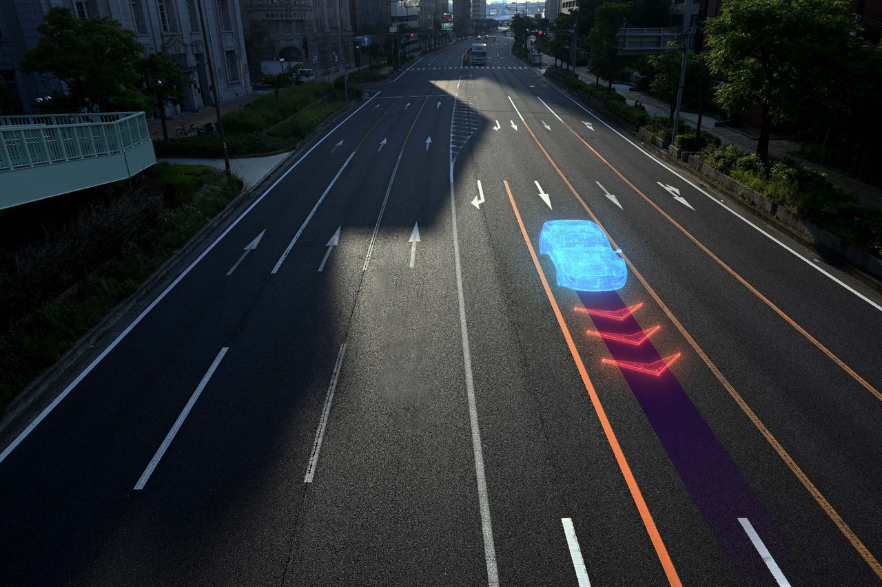 Maps are used not only for orientation, but also for localization within road lanes.
Why do we need maps?
Maps contain key data that’s useful not only for the driver, but also for the vehicle. Their most obvious benefit is that of orientation. As a driver, you can see various points of interest around you, understand which lane you need to be in, where to turn, and how to get to your destination.
In the case of automated driving, maps are not only used for orientation, but also for localization within road lanes. They allow the car to find its exact location in relation to everything around itself. Maps tell the vehicle what the road geometry looks like – and not just to a few meters. They offer the far greater precision needed for automated driving functions to work.
Of course, as a driver, you can see a map on your infotainment system display. However, this is merely the user interface. When we talk about maps in terms of automated driving, we’re talking about data that isn’t visually represented, but instead used internally by the vehicle for various driving functions.
Advantages of maps over sensors
In some respects, a map can be understood as a kind of sensor. It helps the vehicle to understand and perceive its environment. Nevertheless, maps still work in different ways to traditional sensors like cameras and radar, and hold a couple of key advantages.
Firstly, sensors have a limited line of sight and can’t look around corners. Imagine you’re overtaking a truck and there’s a speed limit sign behind it. The vehicle sensors won’t see the sign. The map, on the other hand, knows exactly where you are on the road network and what speed is permitted for the section you’re currently driving on and the sections that you will be driving on soon.
Secondly, sensors are also influenced by light and weather conditions like rain, snow and fog. If one of them fails because of this, you can rest assured that the map is still correct.
At CARIAD, we use all of the information available to us to improve driving safety and comfort. Following the principle of sensor diversity, we use maps and sensors together to increase the reliability and accuracy of environment perception.
What are the parts that constitute a map?
To fulfil the purposes of both orientation and localization, CARIAD is developing a solution called OneMap. This is a high-level architecture that features various layers.
 The OneMap architecture consists of a navigation map (itself a combination of the SD and HD map) and an HAD map.
The standard-definition (SD) map is the simplest form of map included in this architecture. It contains all fundamental information about roads. The high-definition (HD) map adds additional information such as lanes. These two maps combine to form the navigation map, which is used for the purpose of orientation. Navigation maps contain information such as the street network, an advanced map display, lanes and services like traffic. They also feature points of interest and addresses, including a hierarchy.
On top of this layer are the highly automated driving (HAD) maps. These are more precise and, as the name suggests, used for automated driving – and therefore for the precise localization of the vehicle. They also contain the street network and lanes, though with much greater detail and information on localization objects like traffic signs, traffic lights and poles. On top of that, they provide a speed limit service, a road condition map and geofencing. Geofencing tells the vehicle where autonomous driving is available and permitted. HAD maps even contain data related to driving behavior. For example, if there's a wall on the right side of the road, the vehicle won’t drive exactly in the middle of the lane, but in the left half of it, just as a human would do. This creates a more natural and comfortable experience for the driver.
A significant advantage of OneMap is that there is consistency between the navigation and highly automated driving layers, unlike other solutions on the market that use two separate maps. Users will therefore benefit from a uniform automated driving experience. A right turn lane is displayed more accurately to the customer in navigation, for example.
Using maps to enhance the entire vehicle experience
Maps can be used for many functions in the whole car. For example, they can be used to support the battery in an electric car, ensuring that it’s used to optimize the range and to plan the next charging stop depending on the route and driving behavior. And as maps are an important prerequisite for automated driving, the OneMap architecture will support a number of automated driving functions and features in Volkswagen Group vehicles.

-
Before the final whistle: The software that drives us on matchday
 As the World Cup heads into its final week, connected vehicle software can help fans plan routes, charging, updates and the ride to kick-off.13/07/2026
 -
This pulse inverter makes small EVs feel big
 The Electric Urban Car Family launches with the Volkswagen Group’s first in-house pulse inverter, powered by CARIAD software. It brings high-end technology to entry-level mobility.05/06/2026
 -
Inside the ID.S 6 Entertainment Hub
 ID.Software 6 features the new in-car Application Store. Developed by CARIAD, with direct access to 50+ applications it is available in the new Electric Urban Car Family.29/05/2026